
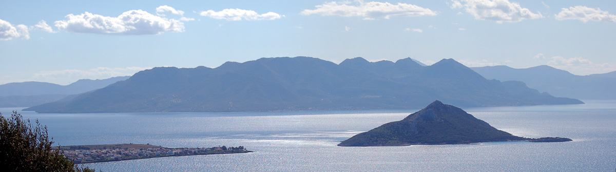
Méthana from N (Aígina). The islet on the front is Moní
Methana
The Methana peninsula forms one of the most striking geological landscapes of the Saronic Gulf. Rising as a mountainous mass easily recognisable from the sea, it contains within its interior the volcanic complex of Methana, which has remained inactive for more than two thousand years. The modern town of Methana lies on the eastern side of the peninsula, facing the entrance to the Poros channel and serving as the main harbour and settlement of the region.
In antiquity the city of Methana was located on the western side of the peninsula, near present-day Megalochori, on top of a steep coastal hill. Archaeological finds, including Mycenaean pottery, indicate that the site had already been inhabited since prehistoric times. Ruins of the ancient settlement are scattered across the area, while the citadel walls dating from the 4th century BC remain in relatively good condition. The harbour of the ancient town lay southeast of the site, near the present coastal village of Vathy.
Methana has long been known for its thermal sulphur springs, which emerge from the ground both near the shore and beneath the sea in several places around the peninsula. These springs have been active for at least three thousand years and were already valued in antiquity for their therapeutic properties. Today a modern spa centre operates in the town of Methana, welcoming visitors seeking treatments for rheumatic, dermatological and other health conditions.
The landscape of the peninsula bears clear traces of its volcanic past. According to the ancient writers Strabo and Pausanias, a significant eruption occurred around 250 BC, causing widespread damage from lava flows and volcanic ash. The interior of the peninsula remains sparsely inhabited, marked by craters and lava fields. The best known of these is the crater of Kameni Chora, an impressive volcanic formation that offers dramatic views over a landscape shaped by ancient eruptions.
Poros
The island of Poros actually consists of two islands that gradually became connected: the small island of Sphairia and the larger island of Kalaureia. Sphairia, the small volcanic island opposite Galatas, hosts the amphitheatrically built town of Poros. It is connected by a bridge to Kalaureia, which forms the larger part of the island and is characterised by low hills and extensive pine forests.
According to tradition, Sphairia took its name from Sphaerus, the charioteer of Pelops, whose skill helped Pelops win the famous chariot race against Oenomaus. The name Kalaureia is believed to derive from the expression “kali avra” (good breeze), a fitting name for an island long associated with the sea and with Poseidon, the patron deity of sailors.
In antiquity the island may once have been connected with the opposite coast of the Peloponnese. Over time geological changes and sedimentation created the narrow Poros channel, which today separates the island from Galatas. On Kalaureia stood the Sanctuary of Poseidon, one of the most important religious centres in the region. Built in the 6th century BC at the site known as Palatia, between the peaks of Vigla and Profitis Ilias, the sanctuary once dominated the surrounding landscape.
During the Byzantine period the islands of the Saronic Gulf frequently suffered from pirate attacks, and on Poros the pirates often used the bay of Vagionia as a base. In modern history the island gained prominence after the Greek War of Independence. In 1830 the newly formed Hellenic fleet was based at Poros, but in 1831, during the political conflict between Governor Ioannis Kapodistrias and the island of Hydra, the admiral Andreas Miaoulis burned part of the fleet to prevent it from falling under Russian control.


