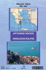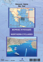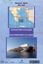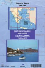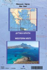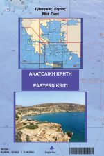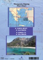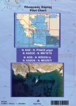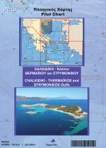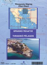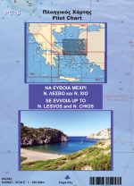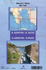
Pilot Charts
The eagleray pilot chart is a complete nautical chart, published under permission from the Greek Hydrographic Office, that offers in addition pilot information. Charts have been made for many years now with the HOs around the world focusing on the ships and the ship’s needs. For a good reason as well – 50 years ago you wouldn’t find not even one tenth of the yachts travelling the seas today.
Eagleray bridges this gap, by offering pilot information on the chart that is relevant to the yacht. In order to do that, we don’t remove official information, we only add from our own surveys: a text next to a strait, a symbol next to a shelter. That way, we maintain the “officiality” of the chart while offering the add-ons for the yachts.
All that exists in the front of the chart. On the other side, we include smaller scale charts or plans of harbours that support the safe and enjoyable sail in the area. So, when you buy an eagleray pilot chart, you actually get a group of charts for an area, charts that you would have to buy and pay for individually if you would address a different publisher.
The eagleray PC is made by 135gr thick, enhanced paper which is laminated in order to resist wet conditions and heavy use. As a matter of fact I have been personally congratulated for that by yacht charter companies who do not need to change their yacht’s charts as often as they did in the past!