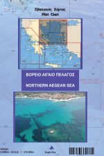
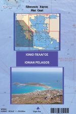
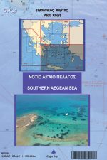
The series of General Pilot Charts GPC of Eagleray is a set of 3 nautical charts of small scale, designed for large journeys in the open sea.

The nautical chart is enriched with information on winds and currents, as well as a full set of waypoints placed 1 – 2nml away from land, which can be used for the circumnavigation of every island or the trip between any two.

For the first time in the global nautical bibliography, the basic Light Network is drawn on the chart, not only with the sectors of the light but also with its range so that the captain can identify immediately the point where each light should be visible during his journey.

The back side of the chart contains a few useful tools drawn from the art of seamanship, like some basic knots, weather forecast using the barometer and the thermometer, magnetic compass correction using the sun etc.