


Periplous
Around the Harbours and Bays of Greece
The new sailing guide from Eagleray presents the harbours, bays and anchorages of the Greek seas in a single volume.
Combining practical pilotage guidance with insights into local weather and sailing conditions, Periplous is designed for cruising sailors who want clear and reliable information when navigating Greece.
At the moment, only in english language.
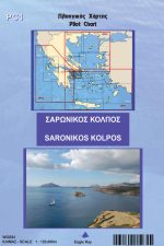
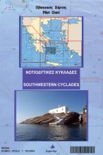
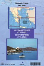
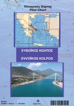
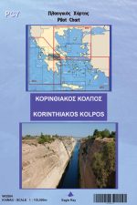
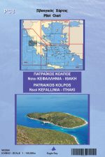
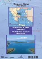
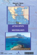
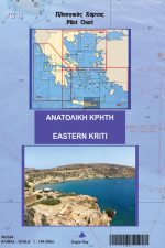
Pilot Charts (PC)
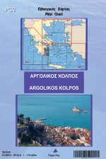
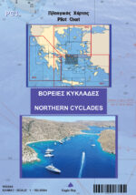
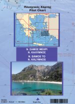
EagleRay pilot books are nautical charts allowing the vessel to navigate accurately and safely in the Greek waters and they contain, in addition, piloting information that is placed on the area where it is most relevant, such as local names, practical weather forecast, tourist and other information that is suitable for yachts at sea.
The back side contains approaches-type (analytical) charts and port plans, together with their local info and photos to assist the reconnaissance of the area.
In addition, PCs are laminated so that they can withstand against water, salt, wear-and-tear and they too are sold within a plastic wallet
PCs have a 4 – 5 year life cycle. During this time, corrections (NMs) are placed every year on our website www.eagleray.gr
Nautical Publications
Hellas, Sea Guide
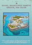
Greece, Sea Guide is a chartbook and a pilot book covering all of the Greek waters.
Ropes and Knots

A detailed guide about ropes and wire ropes
Avakio
International rules for collision avoiding at sea
Yacht logbook
A usefull tool to keep our sailing annotations
Greece, Sea Guide
Greece, Sea Guide is a chartbook and a pilot book that is sold in 4 volumes (areas) covering all of the Greek waters.
As a chartbook, it contains all the nautical charts needed in order to navigate, enriched with local information on weather, winds, currents and special characteristics of each place.
As a pilot book, it contains all the harbours and a large amount of bays which cannot be found in any other nautical publication. The plans are enriched with local knowledge, facilities, local data and photos that are collected by continual on-site research.
The book is bilingual, with the text being in both Greek and English languages. It is printed in A3 size, thus providing A2 size charts that are perfect for the yacht’s chart table, in 130gr enhanced paper, and sold within a plastic wallet.
Sea Guides have a 5 – 6 year life cycle. During this time, corrections (NMs) are placed every year on our website www.eagleray.gr
Subscribe to our newsletter to get all the latest chart’s and sea guide’s corrections in your email
LATEST STORIES
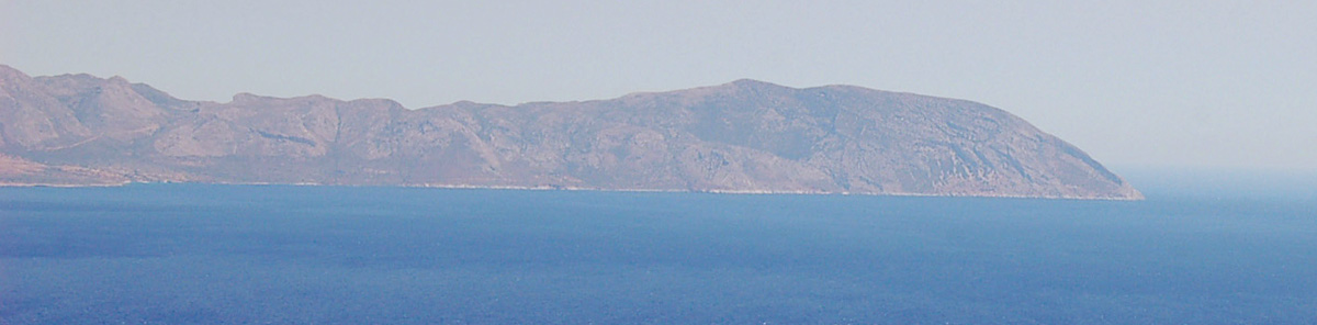
Cape Maleas
Cape Maleas Cape Maleas, the southeastern tip of the Peloponnese, is one of the most iconic and historically challenging points in Greek navigation. Known since antiquity as Maleas, the cape has long been associated with strong winds, powerful currents, and unpredictable conditions, making it a critical point of passage for vessels navigating the region. Its…
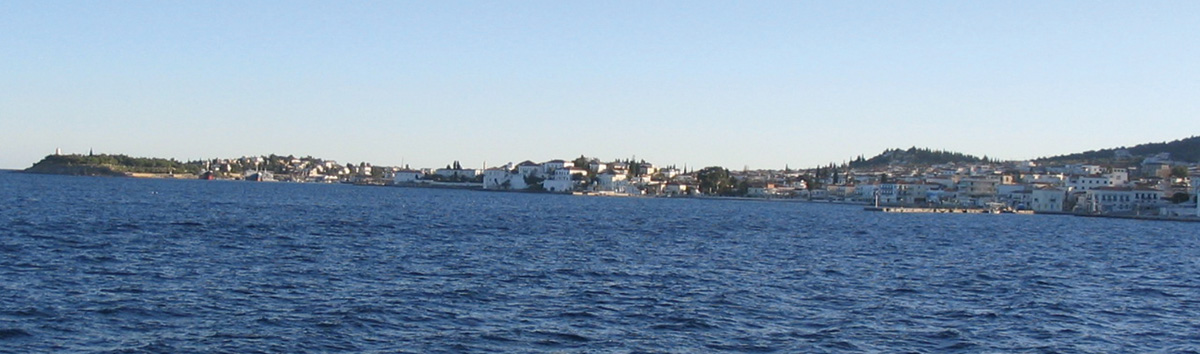
Spétses
Spétses harbour (Dapia) The island of Spétses was not always an island. Until about 8000 BC, at the end of the last Ice Age, sea levels were significantly lower than today and Spétses was connected to the Peloponnese by a narrow strip of land. In fact, many islands of the Argolic Gulf were either joined…
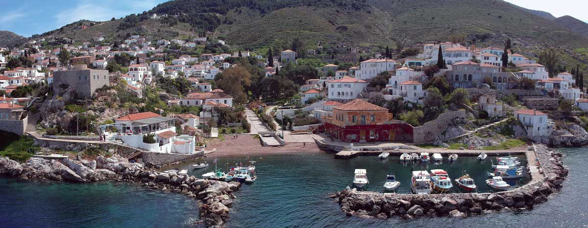
Hydra
Κamini fishing harbour The name Hydra derives from the ancient name Hydréa, which is linked to the Greek word “hydor” (water), suggesting the existence of numerous springs and wells on the island in antiquity. Indeed, until the early 20th century travellers reported many wells used by the inhabitants. Today, however, the island’s water supply is…